The numbers
Duration: 2 days
Total distance: 26.2 km (12.7 km first day, 13.7 km second day)
Cumulative ascent: around 2,000 m
Cumulative descent: around 2,000 m
Main stops
Start from Colle dell'Impisio, 1578 m
First peak, Serra del Prete, 2181 m
Piano Gaudolino, 1775 m
Monte Pollino, 2248 m
Varco del Malavento, 1974 m
Serra Dolcedorme, 2267 m
Fossa del Lupo, 1900 m
Passo delle Ciavole, 1868 m
Sorgente di Acqua Fredda, 1802 m
Pre-summit of Ciavole, 2127 m
Serra delle Ciavole, 2130 m
Piana del Pollino, 1974 m
Grande Porta del Pollino, 1947 m
Porticella del Pollino, 1971 m
Serra di Crispo, 2053 m
Fontana Pitt'accurc, 1870 m
Piano di Jannace, 1688 m
Santuario Madonna del Pollino, 1548 m
Komoot tracks: they follow in the story, split into two days.
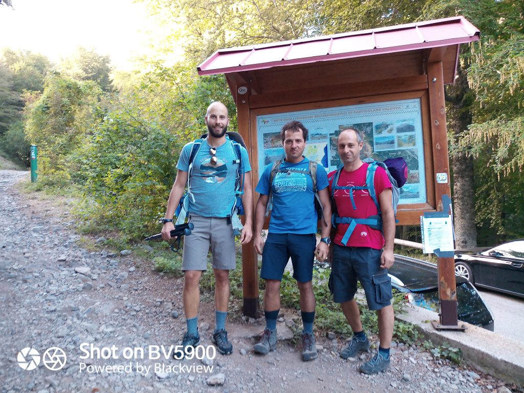
Here we are, ready at the starting point. Three friends with backpacks on our shoulders, on one of the many hottest days of August (2020), in the area called Colle dell'Impisio, near the town of San Severino Lucano (PZ). Right after the campsite area we leave the car and walk to the sign that marks the beginning of two alternative routes. The first one develops around Monte Serra del Prete, going around it to accompany hikers to Piano Gaudolino; the second is the CAI 920, and it's the one we chose. The direct route that, no half measures, takes you straight to the top of Serra del Prete.
A warning: it's a short route (2.5 km) but particularly difficult because of the steep gradients that in some spots, according to Komoot, sit between 30 and 40%, but also because of the lack of maintenance on the path. In fact, at some points the trail is covered by vegetation and fallen trees across it, brought down by an avalanche years ago, so orientation is tricky: I recommend bringing a GPS in case you need it.
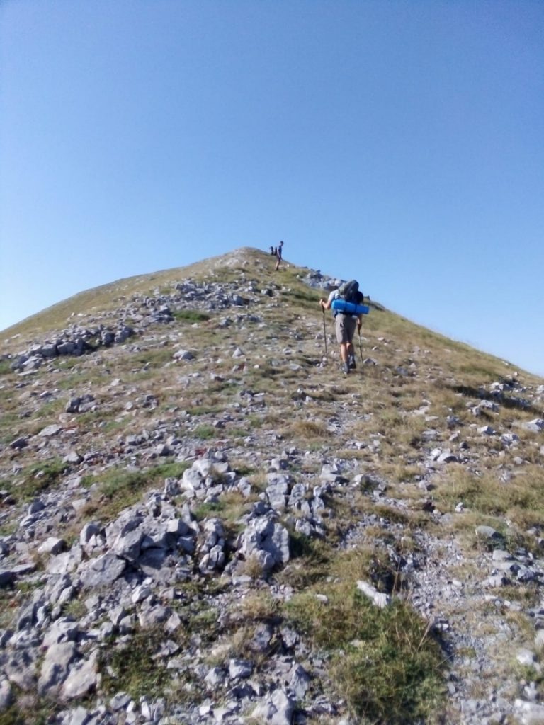
Once we leave the beech forest that accompanied us for more than half of the trail, we find ourselves on the ridge of Serra del Prete.
In summer especially, it's essential to bring plenty of water and a hat: for me the women's beach straw hat is ideal because it also shades the back of the neck, the whole neck and part of the shoulders, while letting air through.
Here we are on Serra del Prete at almost 2,200 metres: the first peak is conquered.
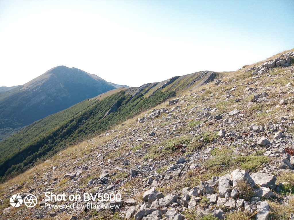
Not much to celebrate though, given that there are still 10 km ahead and many metres of ascent and descent. Yes, because in my humble opinion, going down is harder than going up, especially when you're carrying a backpack of around 12 kg.
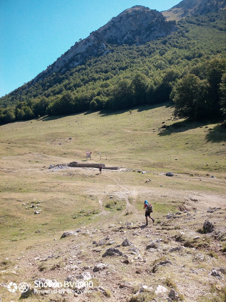
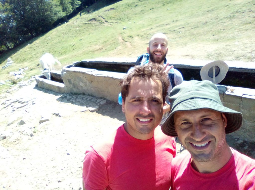
Arriving at Piano Gaudolino is a relief against the heat: the fountain with the same name flows abundantly even in the hottest periods, and it's not rare to find horses or cows drinking there.
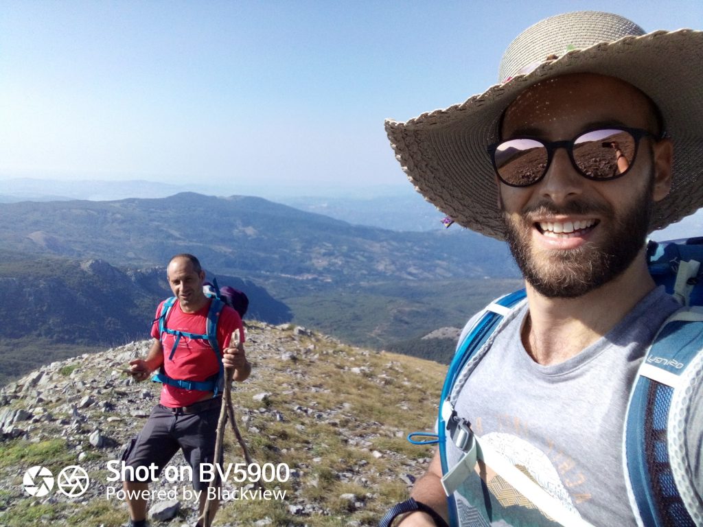
We set off again in the direction of Monte Pollino, following the CAI IPV2 trail that passes through the Dolina del Pollinello (1948 m), from where you can, if you want, take an alternative route that, without climbing Monte Pollino, leads to Varco del Malavento. Another fascinating alternative, further south, is the trail to the famous "Patriarca", the largest Loricato Pine in Italy and the longest-lived in Europe, at almost 1,000 years old.
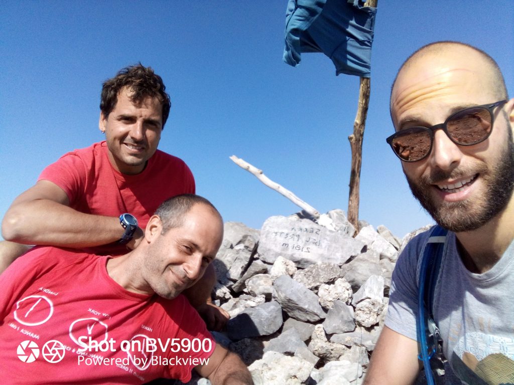
Cima del monte Serra del Prete, 2181 m, San Severino Lucano (CS) The Parco Nazionale del Pollino is the only place in Italy and in Europe (besides the Balkan Peninsula) where you can see the Loricato Pines up close. An evergreen conifer, it's an imposing tree able to survive over 2,200 metres altitude. They are considered living fossils, being a species that survived the last ice age.
Another peak conquered, the second of the day: Monte Pollino.
The top of Monte Pollino lets you enjoy the extension of the Piani del Pollino, all the way to their most iconic gateway, the Grande Porta del Pollino, at around 1,974 metres. This last one is a true "basin" that stretches between the top of Serra di Crispo and the one of Serra delle Ciavole.
From here on, just one more peak remains before we look for a possible camp for the night.
From Monte Pollino to the top of Serra Dolcedorme it's around 3.7 km, characterised by a route fully exposed to the sun and a particularly irregular, rocky trail. In short, quite the effort.
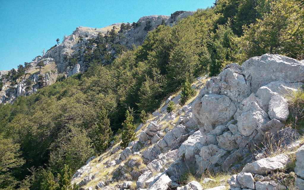
In alto a sinistra, i Pini Loricati si ergono diritti, in mezzo alle rocce - sulla Dolina del Pollinello (1948 m), in direzione del Monte Pollino Once we reach Varco del Malvento, almost halfway to Dolcedorme, we unanimously decide to grant ourselves a break among the only trees populating the route.
After nearly an hour of refuelling, stretching, food and a few laughs in the open air, we set off again determined and eager (and also a bit sore) to reach the last peak of the day. A few shots from the way.
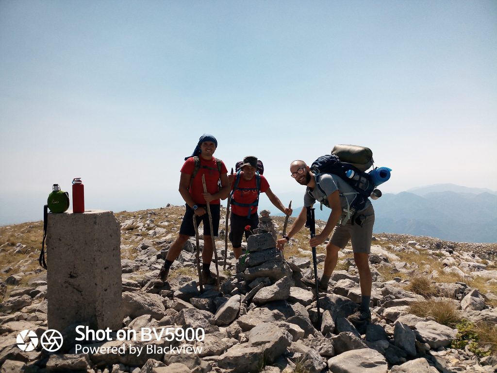
Cima del Monte Pollino, 2248 m, Parco Nazionale del Pollino Finally, after various pre-summits playing with us and making us think we're "almost" there, we reach the highest peak of the Parco Nazionale del Pollino, Serra Dolcedorme, at 2,267 m.
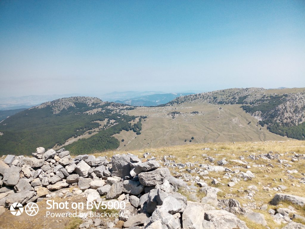
I Piani del Pollino visti dal Monte Pollino, in alto al centro si vede chiara la Grande Porta a cavallo tra le due Serre: di Crispo (a sinistra), delle Ciavole (a destra) 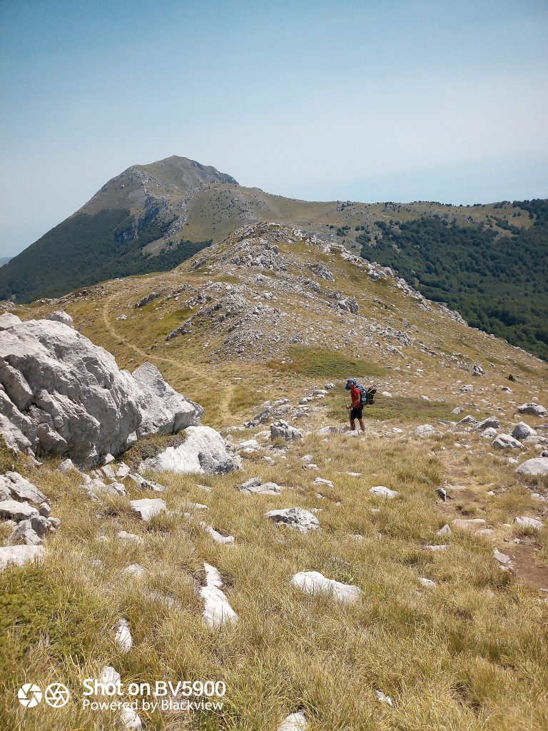
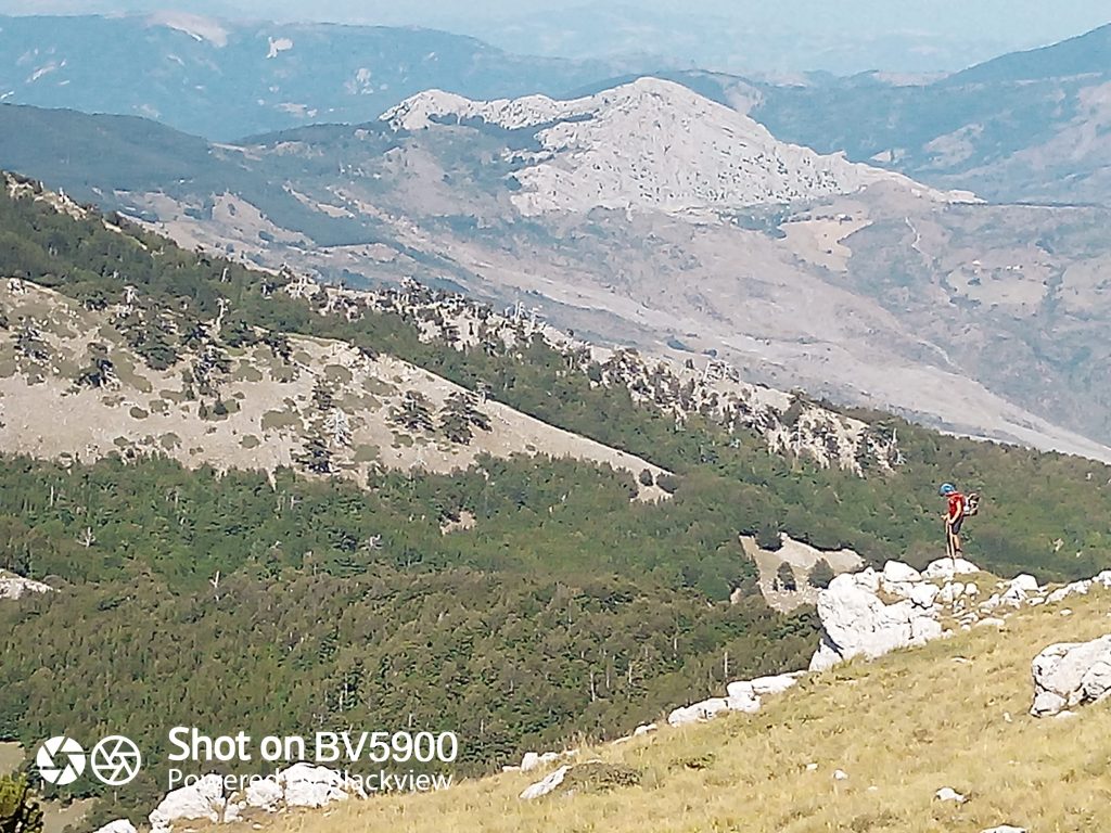
A sinistra, la radura delle Ciavole, al centro, di traverso, il fiume raganello After a well-deserved break on the north-east ridge of the peak, we decide it's time to walk towards the area we picked as "ideal" for the bivouac.
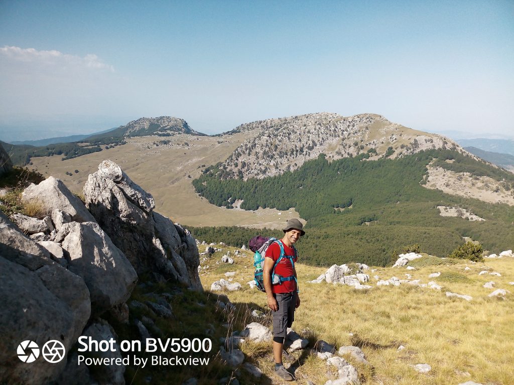
Vista dei piani del Pollino, dal passo di Vallepiana, vicino la vetta Dolcedorme We descend to 2,147 m at Passo di Vallepiana, then take the first trail on the right, IPV5, towards Varco del Pollino, which leads into the heart of the area known as Fossa del Lupo. The trail is steep and bare at first but soon takes us into the middle of a young beech forest.
After some discussion, the group unanimously approves the spot where we set up "our lodging".
Here is the GPX track for day one, downloadable from Komoot.
The night passes in and out of sleep, often stirred by "strange noises" that in the end turn out to be caused by a toad, generous in size (but still a toad), trying in vain to reach its burrow inside a tree trunk hole that our backpack was blocking. Backpack removed, the toad thanks us and we rest better.
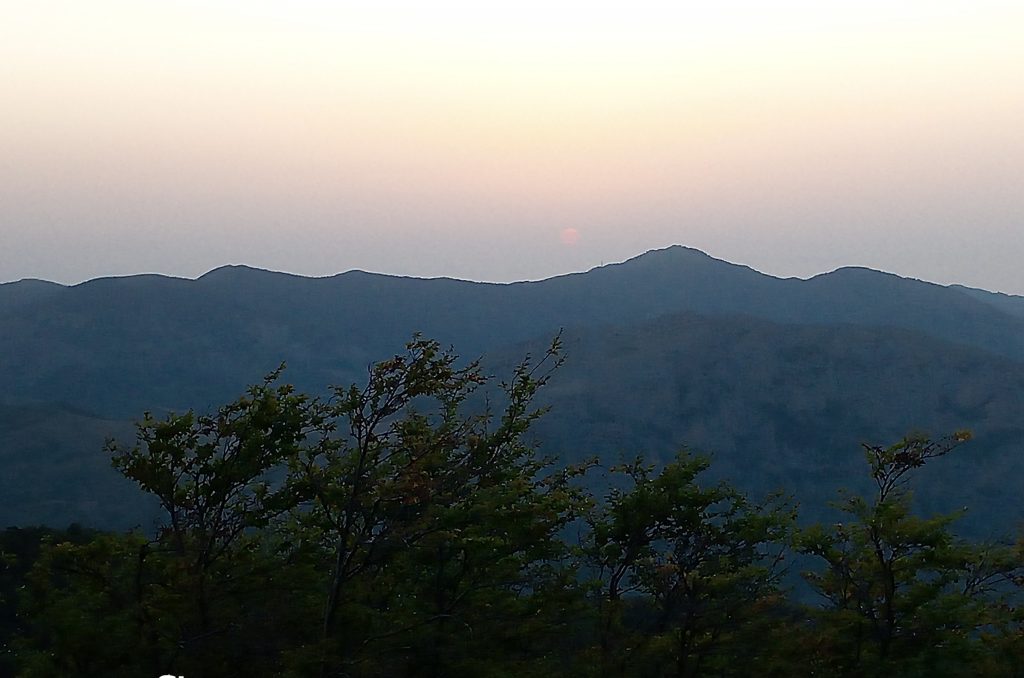
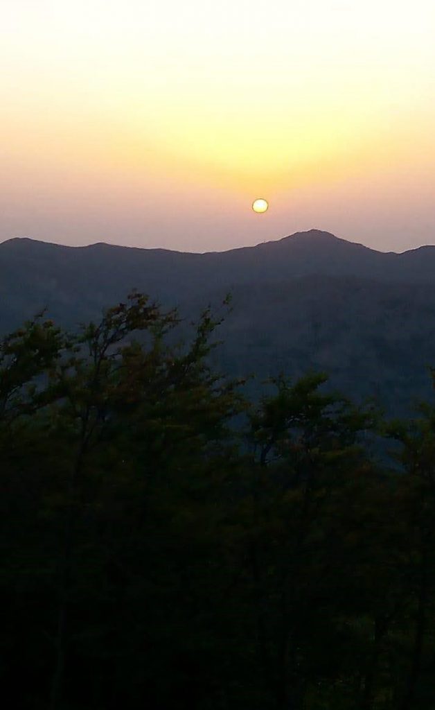
The next day we wake up early to enjoy the dawn, sadly not exceptional because of the haze from the high temperatures.
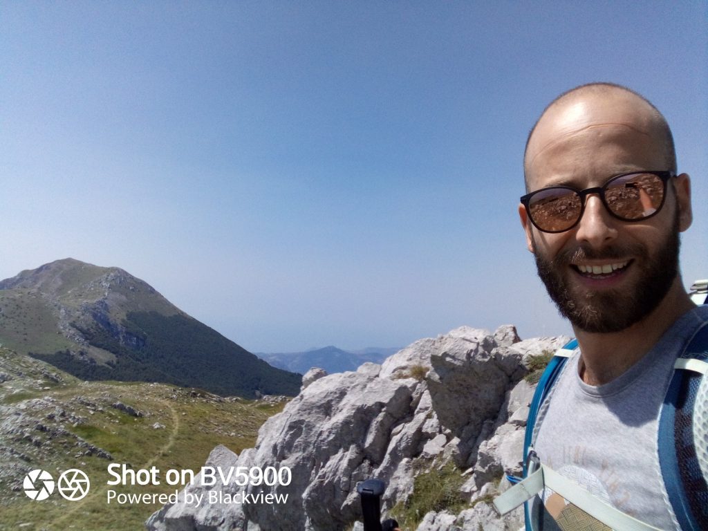
In direzione della cima del Dolcedorme 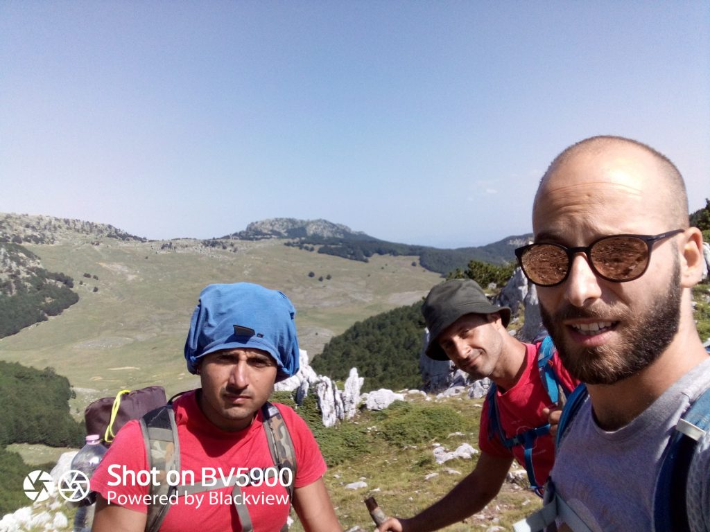
Vista dei Piani del Pollino, dal percorso che dal Monte Pollino porta al Dolcedorme One of our travel companions, our dear Nicola Suriano, nicknamed Nicola'Vans, decides not to continue with us because of a strong knee pain. He'll return to the car via a gentler trail that avoids further strain on the leg, already quite tested.
At Passo delle Ciavole (Varco del Pollino) we split. Nicola'Vans will cross Piano del Pollino, then pass by the Rummo fountain, Piani di Vacquarro, and finally reach the car at Colle dell'Impisio. A relatively "simple" route with gentle gradients that connects Piani del Pollino to Colle dell'Impisio.
Me and the dear Venice fire-brigade diver, Gianni Discipio (without his trusted fins), continue towards Piano di Acquafredda, thinking we can refill water at the fountain with the same name. The evening before, the wine offered by Nicola'Vans' farm, Fattorie Nivaldine, went down like water but, actually, water it wasn't, and as a food, wine calls for more water to be processed by the human body.
Sadly the Acquafredda spring is almost totally dry and it doesn't flow enough to let us refill our water bottles. With barely half a litre each of water, left over from the day before, we get ready to face what will be the hardest, steepest climb of the whole hike.
The chosen trail, the 942A, turns out to be abandoned to itself, without adequate signs and with disarming gradients. I strongly advise against it, both for the gradients (in some spots literally prohibitive) and for the irregularity of the terrain: small rocks and stones that make the climb difficult and dangerous. It almost becomes a climb where you take turns going up, to avoid being hit by stones knocked loose by whoever is going first.
Demoralised and thirsty, we reach the pre-summit of Serra delle Ciavole, where we are rewarded by a spectacular landscape: Piano del Pollino, with all its peaks in the distance, opens in front of our eyes, and it's almost like walking onto a stage (unexpectedly) full of people, coming in from backstage through a long corridor: on arrival you stand there open-mouthed.
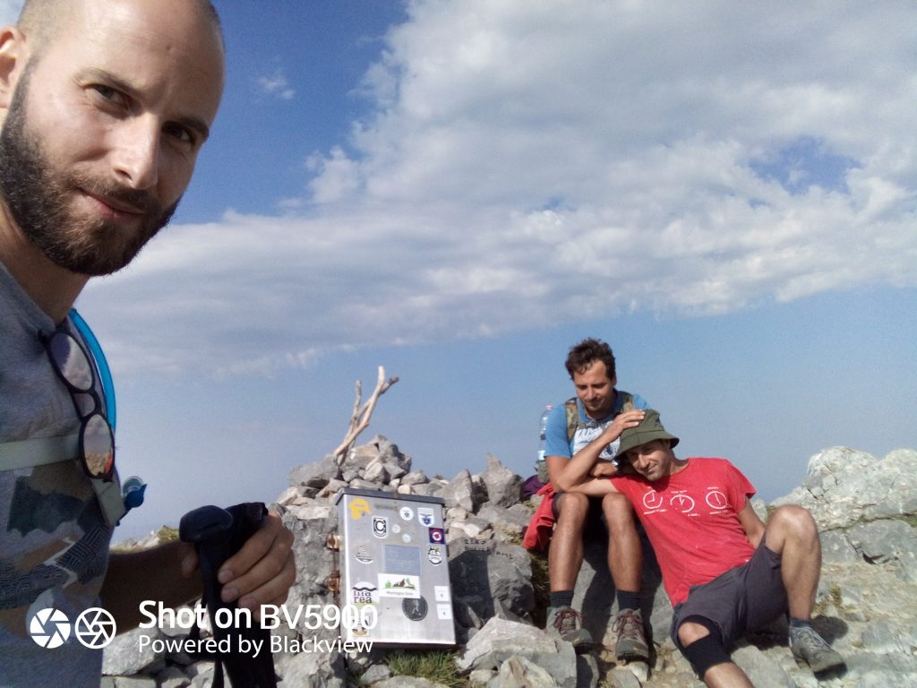
Cima di Serra Dolcedorme, 2267 m, Parco Nazionale del Pollino Not counting that, right before we get to the pre-summit, two unusual (and never seen before) spectators fly over the theatre: two Griffon vultures with an incredible wingspan pass over us heading south-west, in the direction of Civita.
Cima di Serra Dolcedorme, 2267 m, Parco Nazionale del Pollino Finally, exhausted, we reach Serra delle Ciavole.
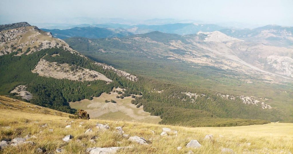
Vista della Radura delle Ciavole, del Crinale di Serra delle Ciavole ed in lontananza sulla destra del fiume Raganello - Scattata su Serra Dolcedorme, 2267 m With motivation restored, we dive into the descent, improvising an alternative route (courtesy of good Gianni) that takes us in short time and without too much suffering to Piano del Pollino. From here we follow the IPV4 and PV4A trails to reach the top of Serra di Crispo, leaving the Grande Porta on our right. Here we are on Serra di Crispo.
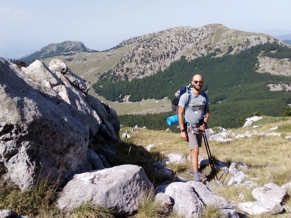
In direzione della Fossa del Lupo a circa 2.000 m scendendo dal Dolcedorme, Parco Nazionale del Pollino Our dear Nicola'Vans has meanwhile reached Colle dell'Impisio, from where, as agreed, he lets us know and takes the car to reach the Santuario della Madonna del Pollino: that's where we'll meet again.
From Serra di Crispo (2,053 m) we take trail 931 that brings us to Fontana Pitt'accurc: an unexpected surprise. The fountain flows abundantly and at its feet water collects, making it ideal for a refreshing splash for us, or for a paw for the animals.
Piano Jannace and Piano Porcaro follow, during which our morale (which had lifted at the top of Serra di Crispo) shows a few signs of giving in: we're tired and even though the route is decidedly easier in terms of gradients, we can't wait to arrive.
Finally, after one last sprint, we arrive at the Santuario della Madonna del Pollino, where we reunite the group and relax in the shade on the grass, tired but satisfied. Particularly evocative is the statue of the black Madonna of Viggiano, worshipped until 1050 A.D. in the city of Grumentum, then carried and hidden in a cave near the current Santuario on Monte Viggiano.
Here is the GPX track for day two, downloadable from Komoot.
It was a two-day hike marked by stunning landscapes, moments of fatigue and difficulty, instants of joy and satisfaction shared with friends, and it ended with a refreshing dip in the icy waterfalls of Bosco Magnano, in San Severino Lucano (CS).
Sul Passo delle Ciavole, a 1868 m, Parco Nazionale del Pollino